For new readers, WHETGEO stands for Water HEat and Transport in GEOframe. It is a set of models that deals with the processes in soils. The paper describes the 2D version of it, at least its initial deployment, since the system was built on the idea of expandability. The paper and its abundant supporting material a a step towards a series of further analyses of the water behaviour in the vadose and saturated zones.
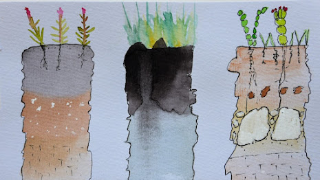 |
| DeAnn Presley painting (https://www.agronomy.k-state.edu/about/people/faculty/presley-deann/) |
No comments:
Post a Comment